
features.
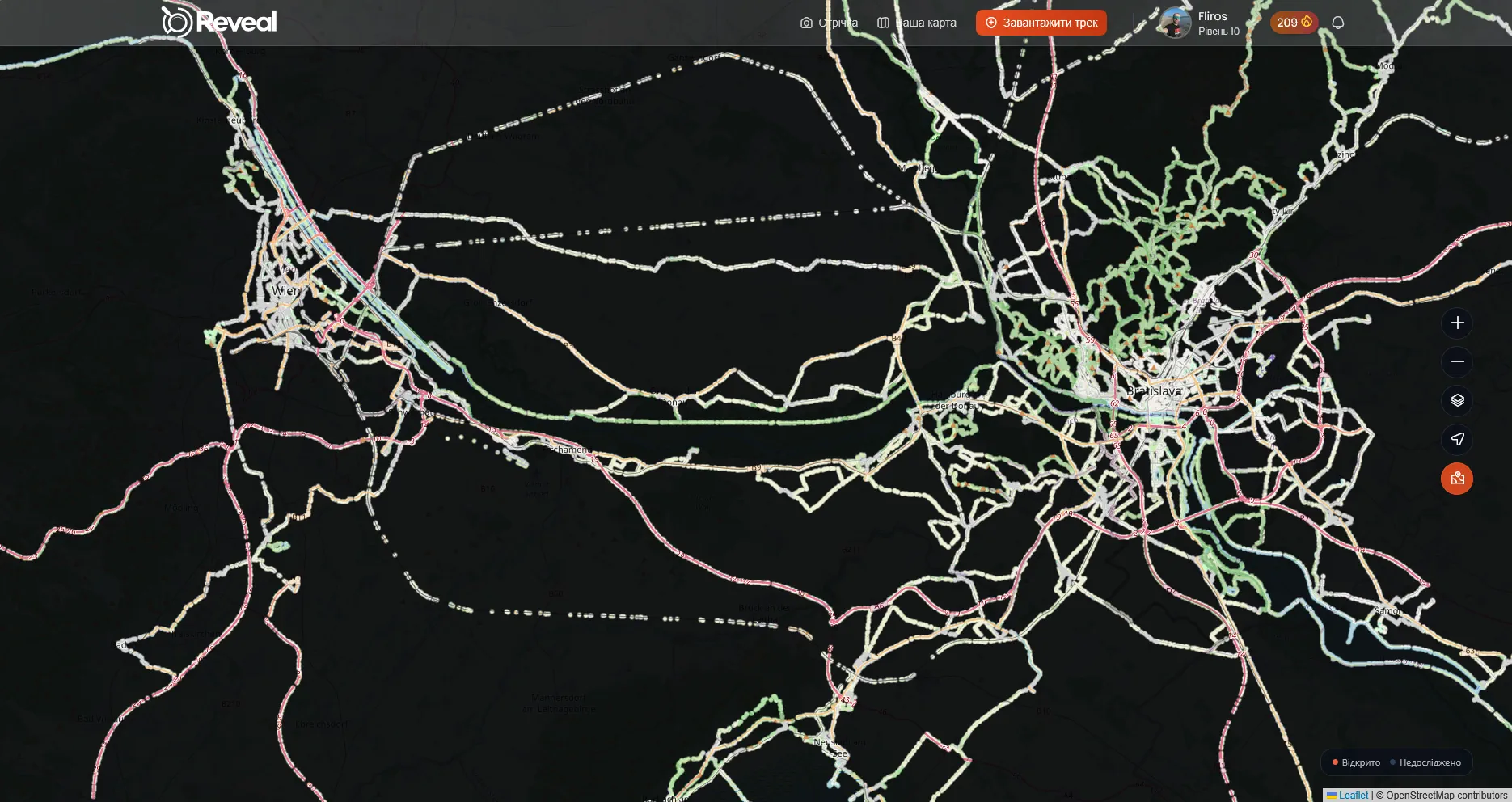
Every route you have. One map.
Import what you already recorded. The fog lifts exactly where you have been, and it stays lifted.
Start revealingone explorer, 206 days.
Ordinary walks and one long flight home.
- 19
- countries
- 1,297
- km² uncovered
- 24,497
- km moved
- 370
- journeys
Bring in what you already recorded.
GPX, FIT and KML files, straight off a watch or a phone. Drop in a folder of old tracks and years of your map fill in at once.
- GPX
- FIT
- KML
Distance, elevation, pace, moving time and top speed are read straight out of the file. You never type a number in. Add up to ten photos per track, and set each one to public, friends only, or private.

the map.
The fog lifts only where you actually went.
- 50 m
- revealed either side of every point on your route
- 5 km
- already clear around your home the day you sign up
- 31.43 km²
- uncovered by one 167 km drive, a real track
It names the places you passed.
Reveal reads the ground under the route. Countries, towns and villages are logged for you, along with landmarks across 35 categories. Some are common. A few are rare enough to be worth going after.
Everything on the right came out of a single drive from Žilina to Nowy Targ.
Slovakia
- Žilina
- Terchová
- Zázrivá
- Dolný Kubín
- Oravský Podzámok
- Podbiel
- Tvrdošín
- Trstená
Poland
- Czarny Dunajec
- Nowy Targ
- Ludźmierz
- Gronków
- Stare Bystre
- Jabłonka
Some of it sticks to you.






Every upload adds XP. Badges unlock for firsts, for distance, for altitude and for showing up repeatedly, and there are more than fifty of them waiting.
Daily streaks carry over with freeze tokens when life gets in the way. Five boards run at the same time: total XP, this week, this month, area revealed and longest streak.

Record it while it happens.
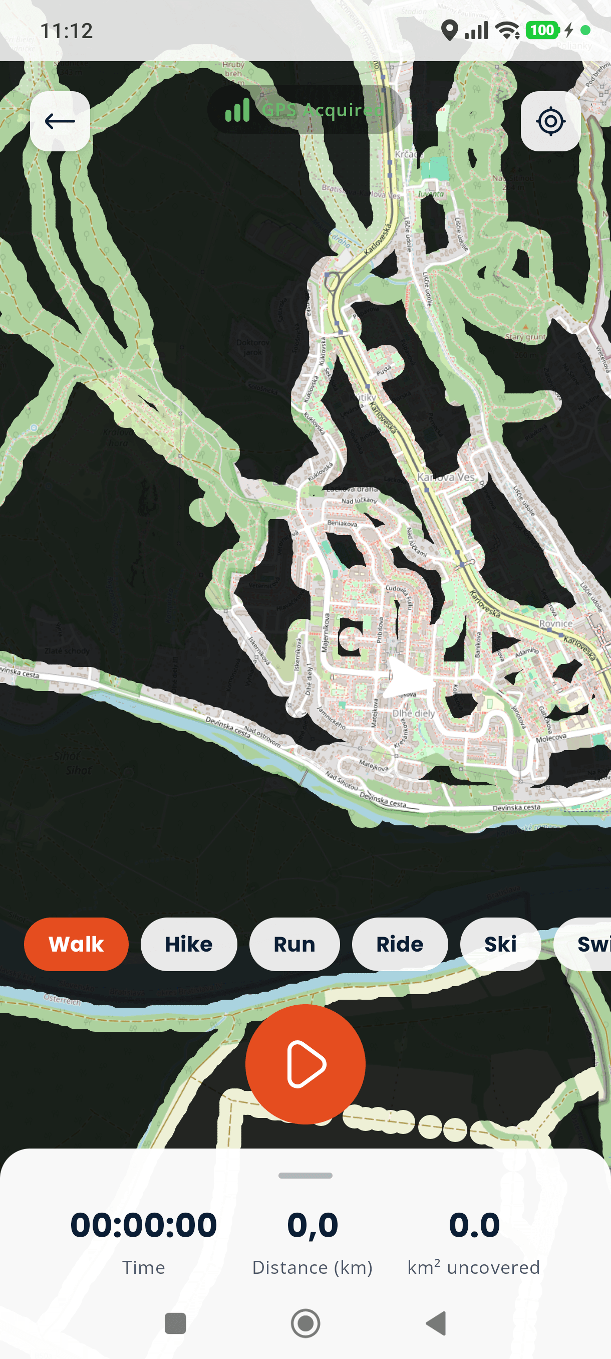
The Android app follows you on GPS and pulls the fog back as you move. It keeps recording with no signal and syncs when you are back in range.
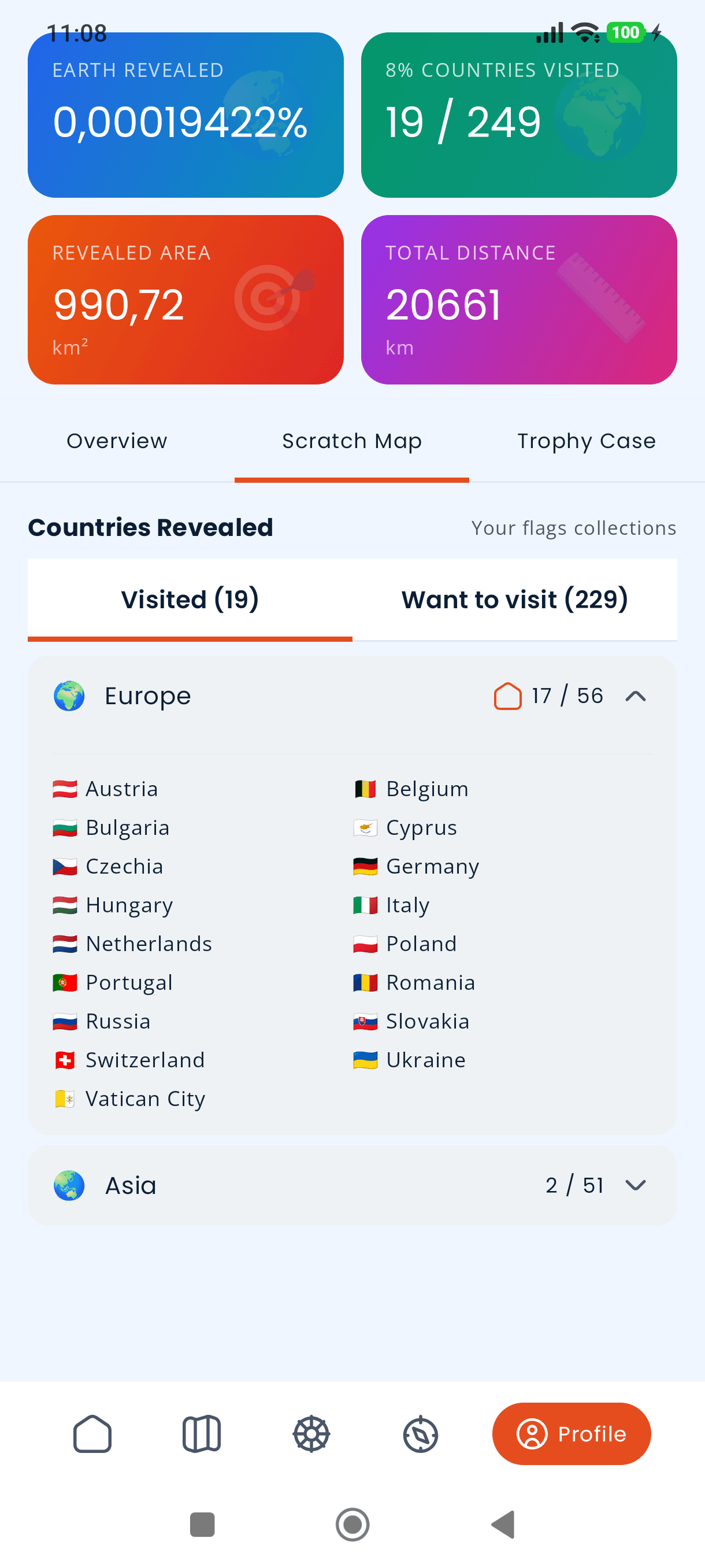
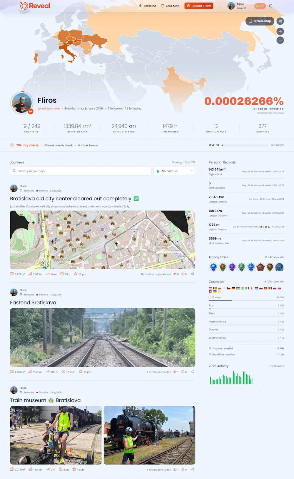
All of it lands on one page.
Your profile holds the whole record: the revealed map, countries and flags, records, badges, streaks and every journey in the order you made it.
It is a real page you can hand to someone. Other explorers can follow it, leave kudos and comment on a track. Or you can keep every single one private and never show a thing.
honestly.
What is here, and what is not.
live today.
- GPX, FIT and KML import
- Up to ten photos on every track
- A fog map that only your own routes can clear
- Landmarks, towns and countries detected per track
- XP, levels, badges and daily streaks
- Five leaderboards running at once
- Public profile, follows, kudos and comments
- Shareable journey cards, in the Android app
- Per-track privacy, full export, one-click deletion
not yet.
- Strava sync
- Google Timeline import from Takeout
- iOS. After pricing, because it needs a budget
- Paid plans. Free while we are in early access
- Route comparison with historic explorers

Most of your map is still hidden.
Upload one old track and watch the first piece of it go.
Free while Reveal is in early access. No card.